[adrotate group = “15”]
CES 2021 had a certain corporation’s products missing from its lineup, with Canon not releasing any new cameras. Instead, the Japanese multinational company has unveiled its new interactive website that allows the users to explore several locations on Earth, zoom in and out, and take pictures of the respective areas.
Unfortunately, the photos are not live, but one can still enjoy viewing pre-captured sights such as New York, San Jose, Japan, Alaska, and even Antarctica.
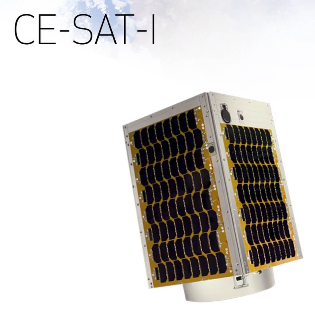
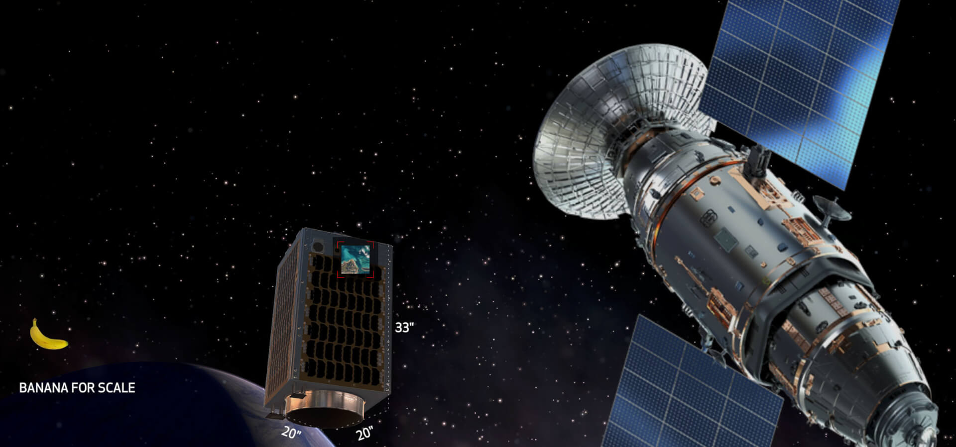
The Canon Electric Satellite 1 (CE-SAT-1) is an experimental micro-satellite developed and built by Canon Electronics and launched into space in 2017. Its creator describes it as ‘small, light, and cost-efficient’, weighing just around 66 kg.

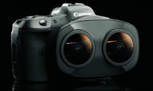
The micro-satellite comes equipped with a Canon EOS 5D Mark III, a professional-grade 22.3 megapixels full-frame digital single-lens reflex (DSLR) camera, which is capable of imaging a ground area of 6×4 kilometers with a resolution of around 1 meter (1 pixel = 1 square meter).
The space news website Spaceflight 101 reported that the CE-SAT 1 is
“an experiment satellite developed at Canon Electronics Space Technology Laboratory to create a high-resolution Earth-imaging system by combining a Cassegrain telescope with a conventional Canon image sensor found in the firm’s EOS product line.“
The satellite was launched into orbit from Satish Dhawan Space Center in Sriharikotain in Southern India and cost approximately $9 million.
“We had real difficulties in three technical areas,” said Nobutada Sako, Group Executive, Satellite Systems Laboratory, Canon Electronics Inc at that time. “One was the absence of gravity, two was the vacuum environment, and three was the unrelenting radiation in space.”
The entire experience and purpose of the satellite are narrated by American astronaut Marsha Ivins, a veteran of no less than five Space Shuttle missions.
Follow TechTheLead on Google News to get the news first.


