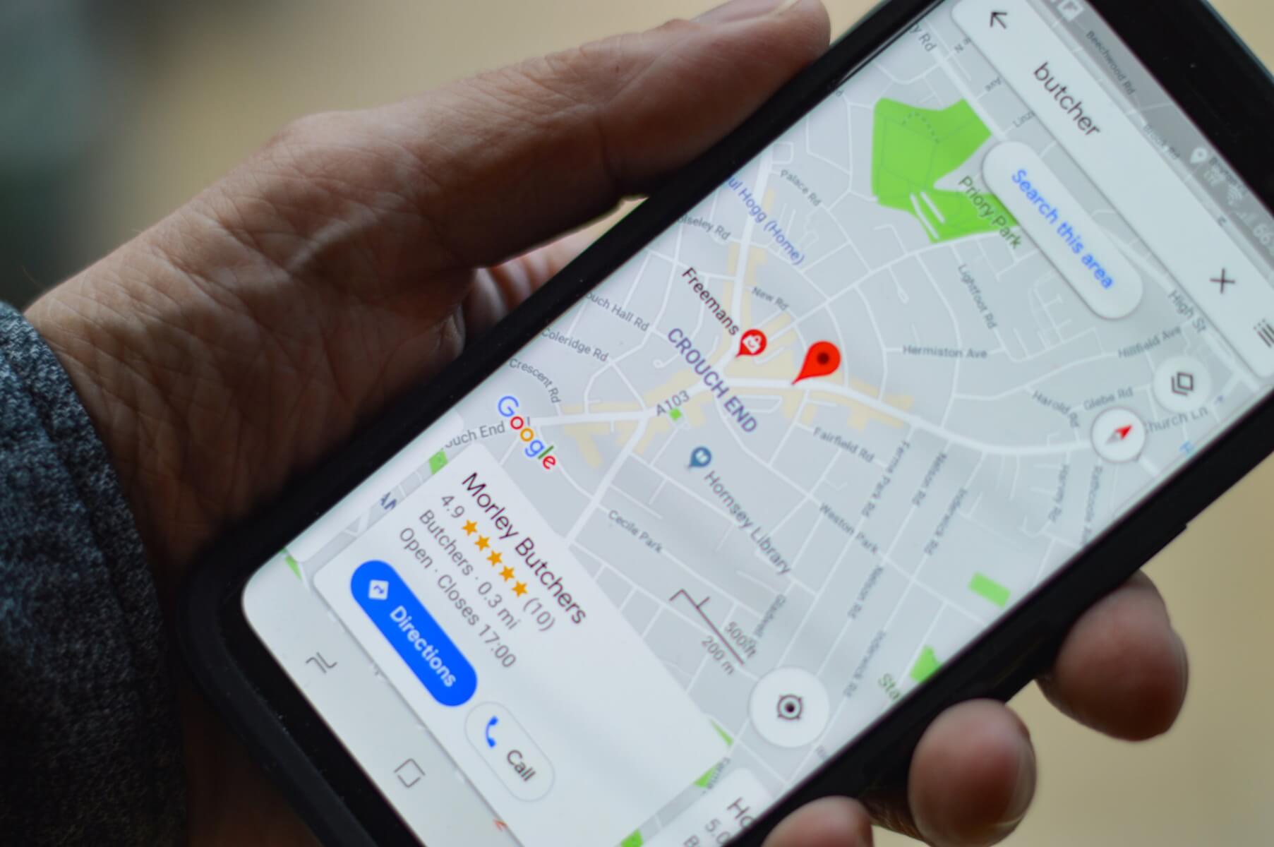
As vaccination continues and people start feeling more confident about using public transportation, crowdedness can become an issue. That’s why Google has decided to help out and give Maps users information about how crowded their train or bus line is. About 100 countries will be able to use this feature within their Google Maps app.
Transit crowdedness prediction will soon roll out as a native app feature in over 10,000 cities in 100 countries. Why is this so important? Before jumping on a train or bus, you’ll know how crowded the vehicle is and think twice about boarding.

If you’re reluctant to stay so close to other passengers and prefer to maintain a 1.5m-2m social distance at all times, then you’ll know to wait for another car.
Experts Say Google Maps Puts Hikers on Dangerous Paths in Scotland
In order to make accurate predictions, Google relies on AI and contribution from folks using Maps, as well as historical location trends.
In New York and Sydney, users can already use the feature in real-time, being able to know ahead of time how crowded a transit car is. That is something Google hopes to bring to more cities soon.
You Can Now Use Google Maps To Pay For Public Transportation And Parking
Other interesting updates Google brought to Maps are Timeline Insights and Trips. The first works on the Android version of the app. It’s able to show users how much time they spent at different locations as well as the trip time and distance traveled. Trips, however, takes users down memory lane, helping them revisit past vacation spots.
Follow TechTheLead on Google News to get the news first.


