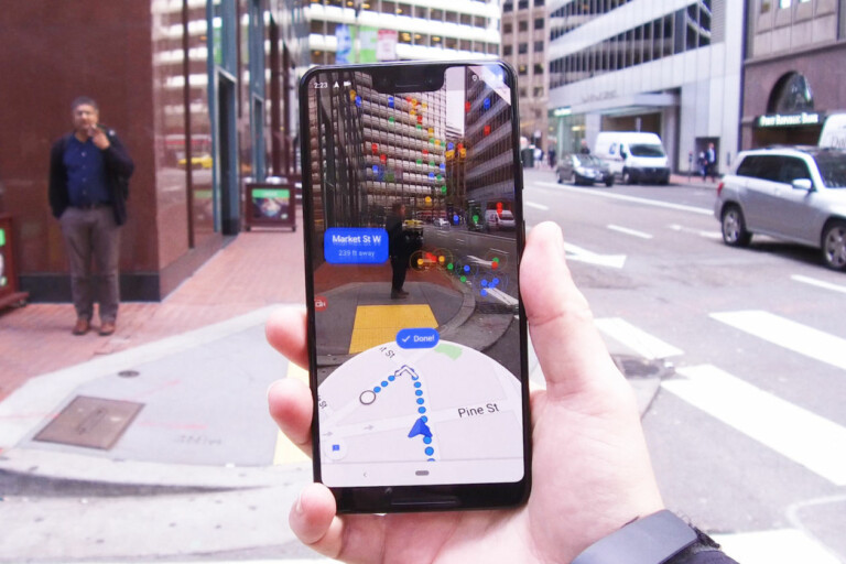
Ever since the COVID-19 pandemic has emerged, Google has been trying to bring its input in making things easier to navigate for people. For those using Google Maps, specifically. Lately, the company has tried to cover everything you might need to stay safe out and about during COVID 19 pandemic and has announced its next step in supporting people staying informed before leaving their homes by increasing Google Maps’ live busyness information.
Most recently, the app it seems to benefit from a new feature that could even allow users to upload photos for even more visuals of little accessible areas of the street or of the cities. The report by SlashGear the new feature will enable users to use their smartphone to contribute towards Google Maps, and the feature will be present in the standalone app Google Street View.
In order to facilitate this capability, Google’s Street View will integrate a feature that can use your smartphone to capture photos of the places. For now, Google has come around the whole “street view” by placing cars equipped with 360-degree cameras to capture photos of the streets, helping those in need for more accurate means of navigation.
The feature was initially spotted by the Reddit user known as -J-F- who revealed the new Google Street View in its driving mode.
Follow TechTheLead on Google News to get the news first.

